Intermap Technologies, a global leader in 3D geospatial data and intelligence solutions, together with Lufthansa Systems, announced it has joined the OneSky Future of Flight program.
The OneSky Future of Flight program aims to help ecosystem partners like Intermap and Lufthansa Systems navigate the challenges of integrating their technology with air traffic management solutions. Intermap and Lufthansa Systems will combine their powerful terrain data, including vegetation and buildings, with OneSky’s world-class airspace management system. The integrated technology will empower users with best-of-breed data and analytics to enhance flight safety.
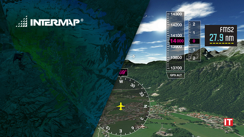
Lufthansa Systems and Intermap collaborated to develop Lido Surface Data NEXTView (NEXTView), the world’s first high-resolution global terrain dataset designed for the aviation industry. It provides the highest quality, continually updated data by combining Intermap’s industry-leading global surface models with Lufthansa Systems’ airport database. NEXTView is the only aviation-certified terrain model on the market allowing direct integration into cockpit systems.
Also Read: NordLayer introduces NordLynx — a new generation VPN protocol based on WireGuard®
Chris Kucera, Co-Founder of OneSky and Head of Partnerships, said, “OneSky is excited to have Intermap and Lufthansa Systems aboard the Future of Flight program. We look forward to working with them to expand Aeronautical Information Management systems to include terrain and urban obstruction data for the emerging low altitude airspace domain.”
“Intermap is excited to participate in the Future of Flight program with OneSky,” said Patrick A. Blott, Intermap Chairman and CEO. “It is a critical time for the Unmanned Aerial Systems industry as safety standards and regulations are being formulated around the world. NEXTView will be central to safe and efficient Unmanned Aerial Vehicle operations, ensuring the industry is able to expand safely for the public and property owners, while supporting emerging business models for operators.”