Rendered.ai, the leading platform for physics-based synthetic data, announced a partnership with Esri, the global leader in location intelligence.
Finding and acquiring unbiased data to train algorithmic learning systems is expensive and time-consuming and significantly inhibits effective use of artificial intelligence (AI) and machine learning (ML) technologies. The Rendered.ai Platform as a Service enables customers working on AI and ML Computer Vision (CV) applications to be able to supplement real sensor datasets with engineered data that can help reduce bias, improve training accuracy, and support innovation.
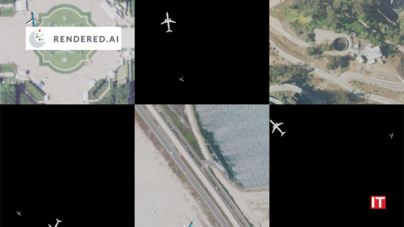
After successful projects in Earth Observations with customers such as the National Geospatial-Intelligence Agency, Rendered.ai intends to deepen the company’s capability and technology for synthetic satellite and aerial training data using simulation capability ranging from visible light imagery to Synthetic Aperture Radar (SAR).
“Many ArcGIS users have access to reality capture content, such as aerial and satellite imagery but are limited by the expense and difficulty of obtaining AI training datasets,” said Chris Andrews, COO of Rendered.ai. “With the ability to combine ArcGIS services and Rendered.ai’s capabilities, we have the opportunity to enable users to access inexpensive and easily configurable training data that can be used with Esri’s deep learning tools to help extract knowledge and information from the content that users already own and license.”
“We’re excited to work with Rendered.ai to explore the exciting domain of synthetic data as an enabler of GeoAI,” said Beau Legeer, Esri’s Director of Remote Sensing and Imagery. “Esri has always been about achieving insight through data and analysis and Rendered’s capabilities enable our users to unlock knowledge from their Imagery content to enhance their GIS through easier access to training data that works with our deep learning toolkit and other GeoAI applications.”
Also Read: Inditrade Goes Live With Scienaptic’s AI-powered Credit Decisioning Platform
Based on the partnership activity, Rendered.ai is releasing a new synthetic data application, the “Rendered.ai Channel for ArcGIS” that can be explored by users who are interested in combining existing satellite imagery with 3D content to generate example training data. The channel will be available for demonstration at the US Geospatial Intelligence Foundation’s annual GEOINT symposium, happening in Aurora, Colorado in April. The integration with ArcGIS will be featured in a tutorial session on Creating and Using Synthetic Data for Computer Vision Applications on Tuesday morning of the event.
“The diversity and complexity of Earth Observation applications makes it hard for users to acquire enough data to be able to train and validate AI for their specific applications,” said the CEO of Rendered.ai, Nathan Kundtz, Ph.D. “The Esri partnership enables whole new groups of users who previously had poor or no access to training data to use standard GIS services and content to make it easier than ever to train AI based on physically accurate simulated content.”
About Esri
Esri, the global market leader in geographic information system (GIS) software, location intelligence, and mapping, helps customers unlock the full potential of data to improve operational and business results.